Elbe River Walk from Fish Market to Wedel
![]()
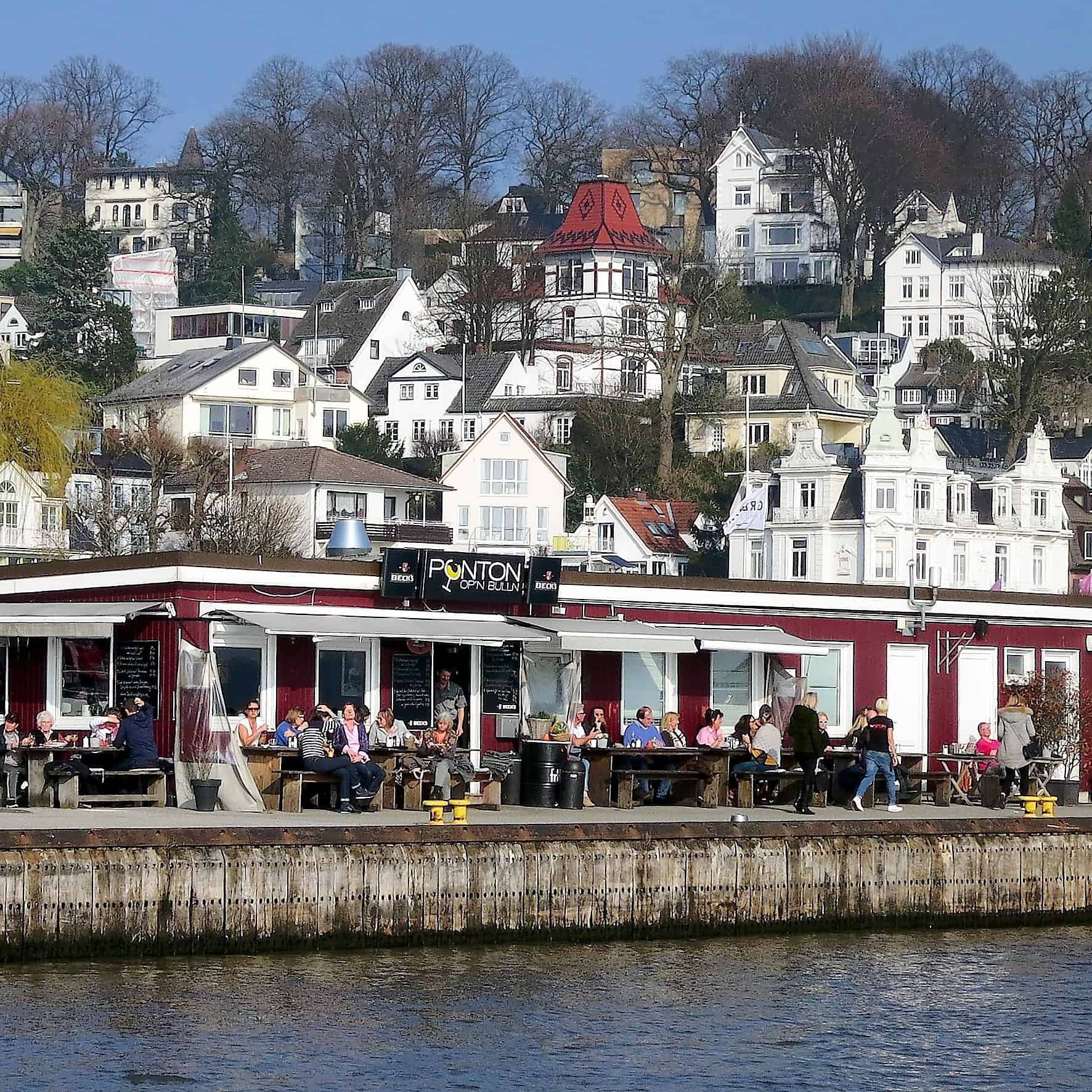
The approximately 20-kilometre-long Elbuferwanderweg trail stretches along the northern bank of the Elbe between the “Fischmarkt von St. Pauli” and the “Willkomm Höft” in Wedel, Holstein. Away from the traffic, but always with the impressive ships in view, Hamburgers can enjoy the beautiful weather here at any time of year on a walk along the water. It seems as if the whole of Hamburg is out and about here with friends and dogs. The path is lined with numerous cafés, restaurants and beach bars as well as many sights and cultural highlights.
Walking down the Elbe
Where do they run?
If you want to walk the whole Elbuferwanderweg with its length of 20 kilometers from the “Fish Market of St. Pauli” to the “Willkomm Höft”, you should plan some time. However, the route can also be explored in shorter parts.
The stations Altona/Fischmarkt and Neumühlen/Övelgönne are easy to reach with the HVV port ferries of line 62 or bus lines 111 and 113. To Övelgönne you can easily take the S-Bahn / station Altona and then walk in the direction of the Elbe, past the Altona town hall over the Altona balcony.
For Teufelsbrück, you take the S-Bahn to the station Klein Flottbek and walk through the Jenischpark down to the Elbe (about 1500 m) or you take the HVV port ferries line 62 and 64 (change in Finkenwerder). The Jenischpark with a size of 24 hectares was once created in the 18th century by Caspar Voght. In 1927, the private park was leased by the city of Altona, acquired in 1939 and thus opened to the public. The Botanical Garden, which is not far away, is also worth a walk.
Blankenese can be reached by S-Bahn. From the station, you van walk or take the bus line 488 (the so-called mountain goat). The way winds through the ‘Treppenviertel’ to the Elbstrand. Tours with a focus on the staircase district lead past Wilhelminian-style houses, the church at the market, through parks, down and up stairs.
The S-Bahn will also take you to Wedel. Walk about 1500 m through Bahnhofsstraße to Schulau on the Elbe bank. Schulau is a part of the city of Wedel in the district of Pinneberg in Schleswig-Holstein. Here at Schulauer Fährhaus, the “Willkomm Höft”, ends or begins the Elbuferwanderweg.

Övelgönne
… where the Himmelsleiter, a steep flight of steps, connects the Elbwanderweg with the Elbchaussee.
According to tradition, the name “Övelgönne” is derived from “Übel gegönnt” (övel gönnt) and refers to the supposed ill-will of the people of Ottensen towards the residents of Övelgönne. Due to their location close to the river, they had the opportunity to appropriate valuable flotsam and jetsam released by the Elbe before anyone else.
Övelgönne was first mentioned in 1674 in the church register of the parish of Ottensen, to which the town belonged. Nowadays, Övelgönne is primarily associated with the museum harbour, the old captain’s and pilot houses, the Elbe beach with the “Strandperle” and the “Alter Schweden”.
The “Museumshafen Oevelgönne” association operates a harbour for historic motor, steam and sailing ships at the Neumühlen ferry landing stage, which are seaworthy and sail regularly.
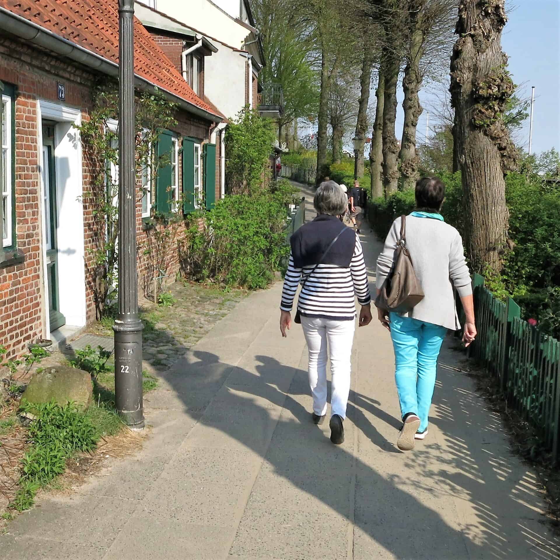
Near a fan building of the Elbe tunnel is a small path that transports visitors back in time as they admire the lovingly restored captain’s and pilot houses on the Övelgönner Weg.
One of the most beautiful places on the Elbe in Hamburg is the beach at Övelgönne. A special gem there is the cult bar on the Elbe beach, the “Strandperle”. The Strandperle is no longer an insider’s tip, but a favourite meeting place for locals who want to sit on the sand, gaze out over the Elbe, dream about the passing ships and soak up the romantic atmosphere.
Blankenese
Blankenese is one of the most beautiful districts of Hamburg – and one of the richest. This is not surprising given the fantastic view over the Elbe. Not for nothing is an old saying in the Hanseatic city: “A Hamburger cannot become more than a Blankenese resident.
In the east of Blankenese lies Baur’s Park. Its serpentine paths on the hillside provide ever-picturesque views of the Elbe and, on a clear day, even as far as the Harburg mountains. Between 1802 and 1817, the Altona merchant and shipowner, Conference Councillor Georg Friedrich Baur gradually acquired eleven plots of land on the northern slope of the Elbe in Blankenese. Right at the beginning, he had the Kanonenberg (Cannon Hill) erected there, from which he could observe his own incoming ships and greet them with gunfire. With a height of 75 meters, the Süllberg in the west of Blankenese is one of the largest elevations in the Hanseatic city. In the valley between them lies the Treppenviertel. Here, there is only one street that winds its way down in wild curves; the remaining houses can only be reached via stairs with a total of about 5,000 steps.
On the Süllberg is the Kaffeegarten Schuldt – coffee & cake with a view. Since 1877, the Kaffeegarten Schuldt is a charming family business that provides the most beautiful coffee in Blankenese, giving the best view of Blankenese. Accessible via a few hidden steps on Süllbergterasse.

Falkenstein shore
The trail leads along the Falkensteiner Ufer from Blankenese via Wittenbergen to Wedel. A rewarding climb awaits you up the Waseberg to the Bismarckstein. At 87 metres above sea level, the Waseberg is the third-highest elevation in the Hanseatic city. At Bismarckstein, you can enjoy a breathtaking view of the Elbe as far as Wedel and across the islands of Schweinesand and Neßsand. Originally, the co-founder of the Holsten brewery, Anton Julius Richter, wanted to erect a monument to the Chancellor here. His plan was not realised; instead, the memorial to fallen marines was built here.
The “Blankeneser Badedüne”, also known as “Hamburg’s most beautiful beach”, was once a popular leisure island that could be reached by motor launch. Today it is part of the Neßsand nature reserve and can only be reached by boat. The beach at Schweinesand belongs entirely to nature.
On the way down from Blankeneser Waseberg, a walk through the “Roman Garden” is recommended. This park was laid out in Art Nouveau style and is characterised by its Mediterranean design and plants.
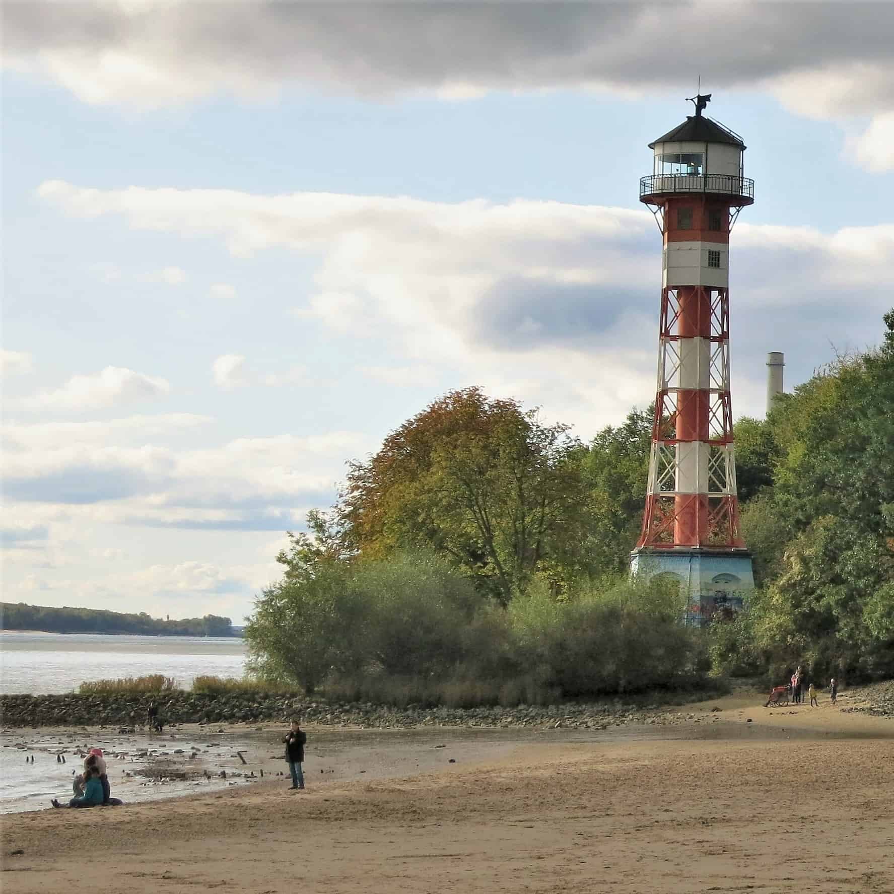
The shipwrecks of the MS Uwe and the Finnish sailing ship Polstjernan are clearly visible on the Elbe beach at low tide. Further west, you will reach the beach at Wittenbergen, where the red and white striped lighthouse is particularly eye-catching and is one of the most photographed beacons in Hamburg.
The end point of the Elbuferwanderweg is the “Willkomm Höft” at the Schulauer Fährhaus. Here, all incoming and outgoing ships are greeted with the national anthem and a welcome greeting is given in various languages: “Welcome to Hamburg, we look forward to welcoming you to our harbour”.
All about "Greets"
- Duration: two to three hours and absolutely free
- Max. 6 people, no combination of different requests
- Meeting point and exact route: by agreement between guest and Greeter
- Request: please at least two weeks before desired date
- More about Greets


